
IT ServicesARKITAC
Read the land, design the options, decide by the numbers
ARKITAC
All the data is public.Gathering it just takes days.
Terrain, ecology, land use, regulation and buildings for one area are scattered across the data of many agencies. ARKITAC gathers them lot by lot and organizes them in one pass.
Private beta
It divides the land, lays roads, raises buildingsand draws the rendering
The areas and volumes from the site analysis are placed on the actual site. The same input gives the same result, and areas, floor area and household counts are checked automatically against the planned figures.
- 01

Divide the land
Areas to preserve are set aside first. The rest is split into blocks and assigned uses such as housing, commercial, parks and schools.
- 02
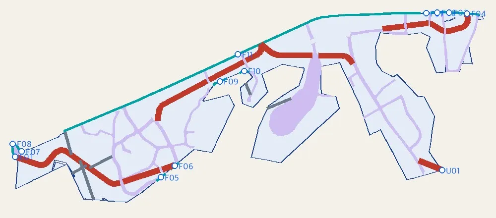
Lay roads
A road network is generated along existing roads and terrain, and several road options are offered together.
- 03
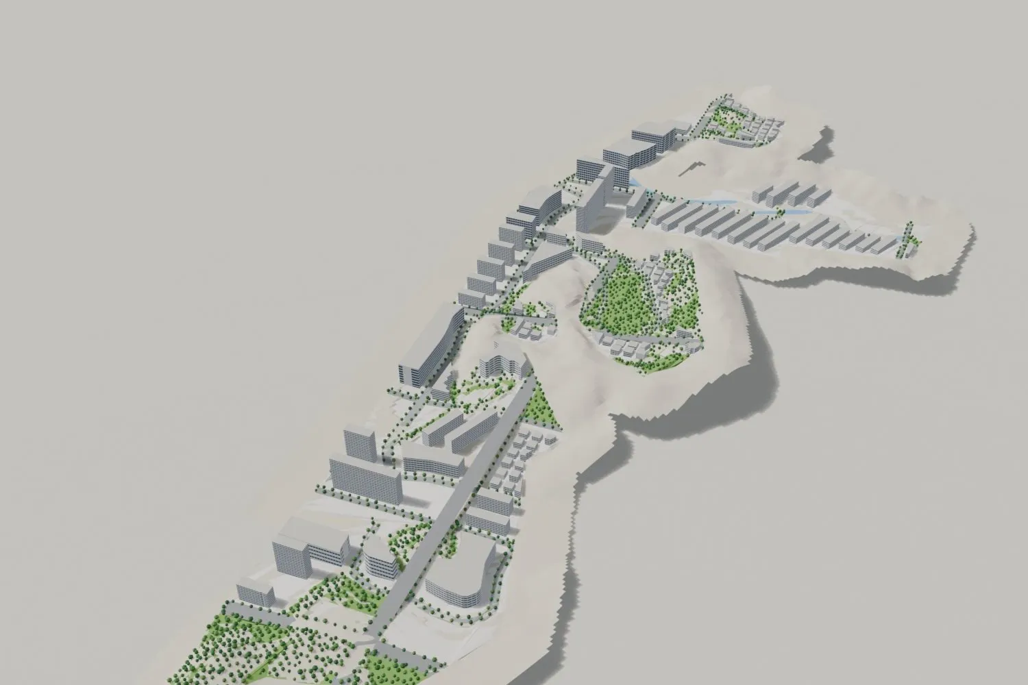
Raise buildings
Buildings are placed to match coverage, floor area ratio and height, and raised in 3D on the terrain.
- 04
Rendering
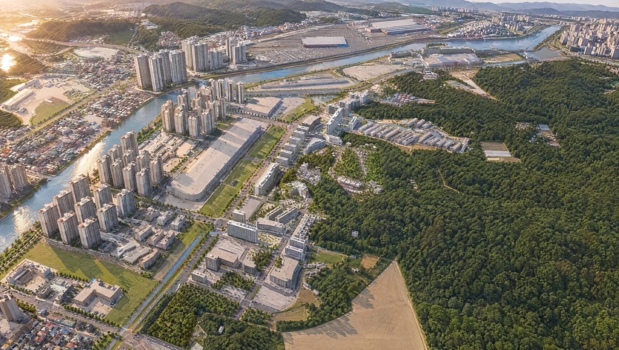
The 3D scene is rendered and finished as a bird’s-eye view that includes the surrounding terrain and buildings.
You can edit it
In the studio you adjust roads, land uses, heights and planned ground levels by hand. Automatic layout is a starting point for the concept.
Export as drawings
Download DXF for CAD, GeoJSON, images and 3D files to carry into the next step.
The pictures are examples to show the feature and are not an actual development plan. Exterior textures in the rendering are AI-generated.
Screens


What it analyzes
Terrain
Elevation and slope distribution
Ecology and environment
Ecological map and environmental assessment grades
Land use
Land category and ownership
Land use regulation
Zoning and overlap with designated areas
Buildings
Use, structure and age
Urban and housing conditions
Redevelopment indicators such as dwelling density and road access
Designation requirements
Whether urban development, industrial complex and redevelopment requirements are met
Estimated project cost
Estimates by item, such as compensation and construction
Results are produced automatically from public data and do not replace legal judgment or appraisal.